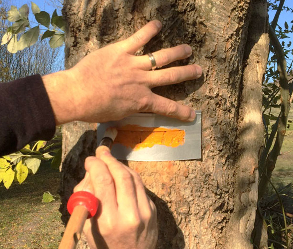
In order to have an equestrian hike taking place in good conditions, it is necessary to have equestrian routes identified, mapped perhaps marked.
Equestrian marking guarantees the security of riders and horses, and the good running of the path.
That's why the FITE has worked on a guide to best practice for the marking and signposting of equestrian itineraries. Each ONTE (Organisme National de Tourisme Equestre - member of the FITE) can use it, add to it, modify it according to its own territorial specificities, while respecting national and local legislation in force on these subjects.
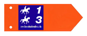
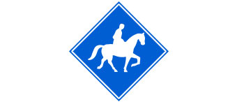
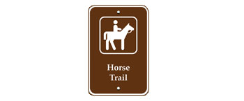
When you decide to go for a hike, it is essential to know the different types of makings.
We have put together a list of markings for riders in different countries. If you wish to tell us about the equestrian markings in your country, please let us know. After study and validation by our services we will add them.
There is no official marking in Germany as trail markings are regulated differently by each Land.
Existing signs vary according to the status of the trail (private or public). Germany's Pferdetourismus brochure lists the country's equestrian tourism offerings.